Vinna við nýjar heimasíður Umhverfis- og orkustofnunar og Náttúruverndarstofnunar er í gangi. Heimasíða Umhverfisstofnunar er virk á meðan vinnunni stendur. Information in English
Nature and geology

Nature
The oases of the highlands are the remains of a continuous vegetation area that was once much vaster and more extensive than is at present, and these oases are home to a number of organisms that don’t thrive in the surrounding wilderness. As a result, Þjórsárver is also a source of seed, a kind of seed bank, that can benefit the surrounding land and promote revegetation, if conditions become more favourable. This significantly increases the importance of these vegetated areas.
Parts of Þjórsárver are floodplains, unusual in the highlands, and it also has palsa mires that are otherwise very rare. In this highland oasis, there are more species of organisms found than anywhere else in the Icelandic highlands, and most organism groups are represented.
Around 167 species of higher plants, for example, have been found here, as have 244 species of insects, spiders and phalangidas. The fox population is small, and field mice are rare. Þjórsárver is very important for the protection of biodiversity. Þjórsárver’s conservation value lies not least in the great diversity of the ecosystem found there.
Þjórsárver is home to the biggest nesting grounds of the pink-footed goose in the world, and scholars have long been of the opinion that it is crucial to the survival of the population in Iceland and Greenland. Many other birds nest in the area, including ptarmigan, golden plover, ringed plover, red-necked phalarope, dunlin, purple sandpiper, snow bunting, long-tailed duck, Arctic skua and Arctic tern. The great northern loon also nests here but is rarely spotted, and swans, once common, are spotted much more seldom than before.
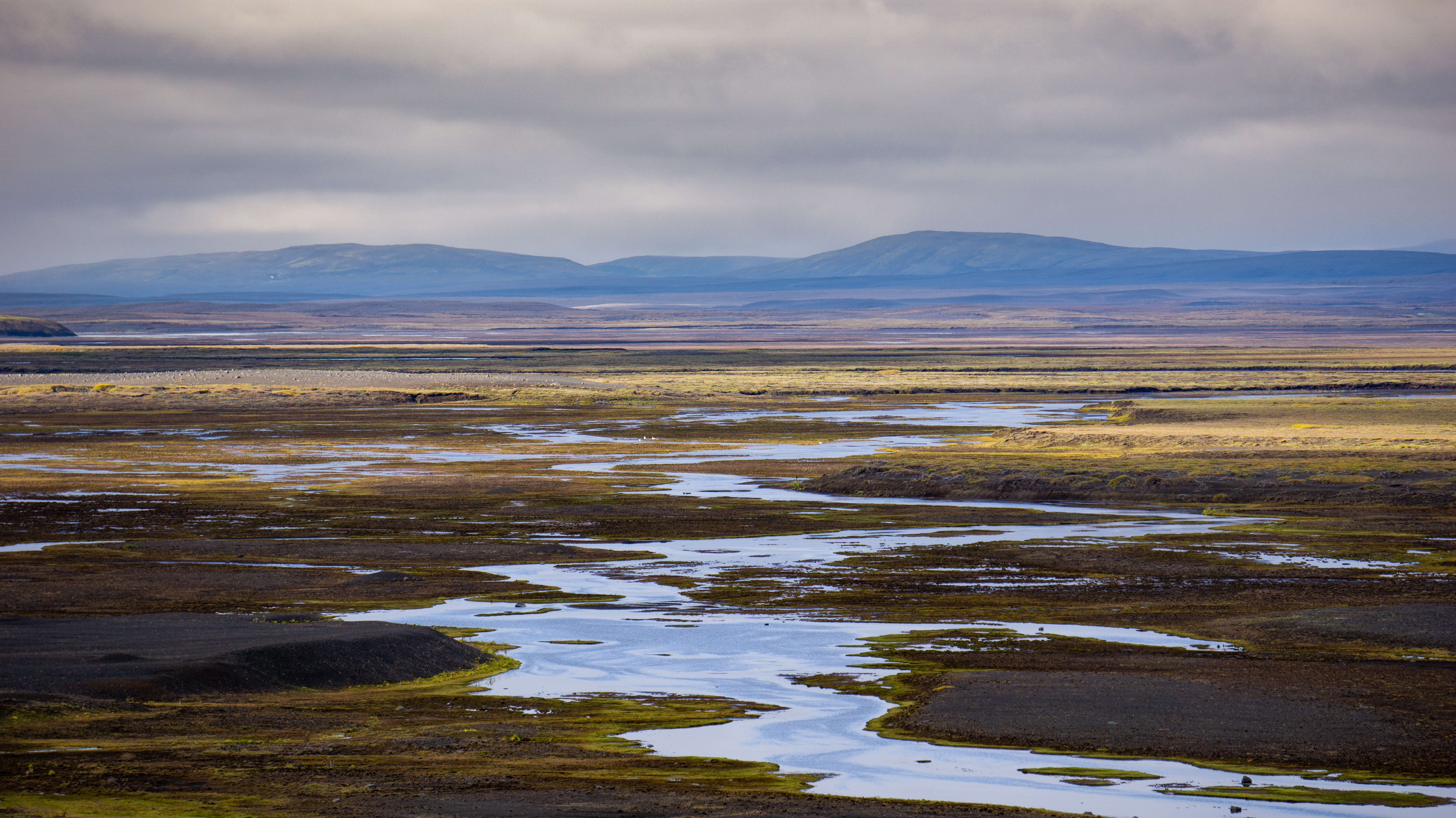
Þjórsárver owes its existence to water, both glacial and spring water. Water is everywhere, rivers and streams branch out over the ground and ponds and puddles form in depressions. Sticklebacks are found in the streams, and lepidurus arcticus and other crustaceans are in nearly every pond, an important food source for many birds.
What makes the Þjórsárver area so important is that there are so many habitats and unique landscapes that are protected in nearly untouched form, even though a water distribution structure, Kvíslaveita, was built, where there are 25–30 km2 reservoirs and water beds at the edge of the nature reserve. When the utility was built, six square kilometres of vegetated land was submerged. Ever since the area was protected, and in fact earlier, there have been plans to utilise a significant part of the nature reserve for water distribution for hydroelectric power plants. The project is called Norðlingaölduveita. Such water distribution would cause severe damage to vegetated land and would disrupt the landscape. In addition, the vegetation would be at risk from damage caused by water and wind erosion. The land is very flat, and so it’s difficult to predict the damage that would be done to vegetation. Plans for Norðlingaölduveita have been temporarily put aside, and the utility will at least be much smaller than originally planned.
The natural beauty of Þjórsárver and its surroundings with the glacier as a backdrop is well known, and the diverse vegetation, ponds and lakes, rich birdlife and smaller animals, glacial rivers and wilderness make this area exceptional. The number of areas in Iceland where no structures of any kind, huts, roads or reservoirs have been built, is rapidly declining. This means that Þjórsárver is undoubtedly one of the most valuable areas in the Icelandic highlands.
Geology
The land in and around Þjórsárver consists of rugged highlands, formed by an ice age glacier, and the bedrock is mostly basalt lava, glacial rock, which is hardened glacial till, sandstone, formed from glacial sediments, and tuff. When the glacier receded, around 10,000 years ago, it left eskers which characterise the landscape. Lava has flowed several times in the vicinity of Þjórsárver after the end of the ice age. Thick sediments cover the bedrock in most places, and these are furthermore covered by sandy soil, 2–7 m thick, and there’s more sand the higher you go in the layers, which indicates that sand drift increased as time went on.