Vinna við nýjar heimasíður Umhverfis- og orkustofnunar og Náttúruverndarstofnunar er í gangi. Heimasíða Umhverfisstofnunar er virk á meðan vinnunni stendur. Information in English
Surtsey

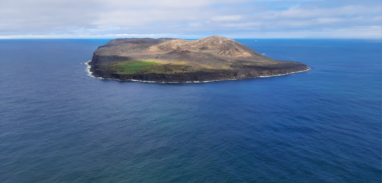
Surtsey is Iceland’s southernmost outpost and part of the Westman Islands archipelago. Surtsey was formed in a volcanic eruption first detected on the surface of the ocean on November 14th 1963. The eruption most likely started a few days before as a submarine eruption at a depth of approx. 130 meters.
In addition to Surtsey, the volcanic islands of Surtla, Syrtlingur and Jólnir were also formed in the eruption, but the volcanic activity in them was short-lived; once it was over, the sea easily dismantled them. As a result, the volcanic islands quickly disappeared from the surface of the ocean, but their remains can still be seen underwater. Volcanic activity in Surtsey, however, lasted for nearly four years, with a few eruption breaks. When lava flowed on the island, it became better protected from the sea after the eruption ended, but it was first and foremost the formation of tuffs that secured the future of Surtsey as a part of the Westman Islands archipelago.
The Surtsey eruption is the longest and best-known volcanic eruption in the history of the Icelandic settlement, as the eruption was monitored from the beginning. The Surtsey eruption ended on June 5th 1967.