Vinna við nýjar heimasíður Umhverfis- og orkustofnunar og Náttúruverndarstofnunar er í gangi. Heimasíða Umhverfisstofnunar er virk á meðan vinnunni stendur. Information in English
About the area

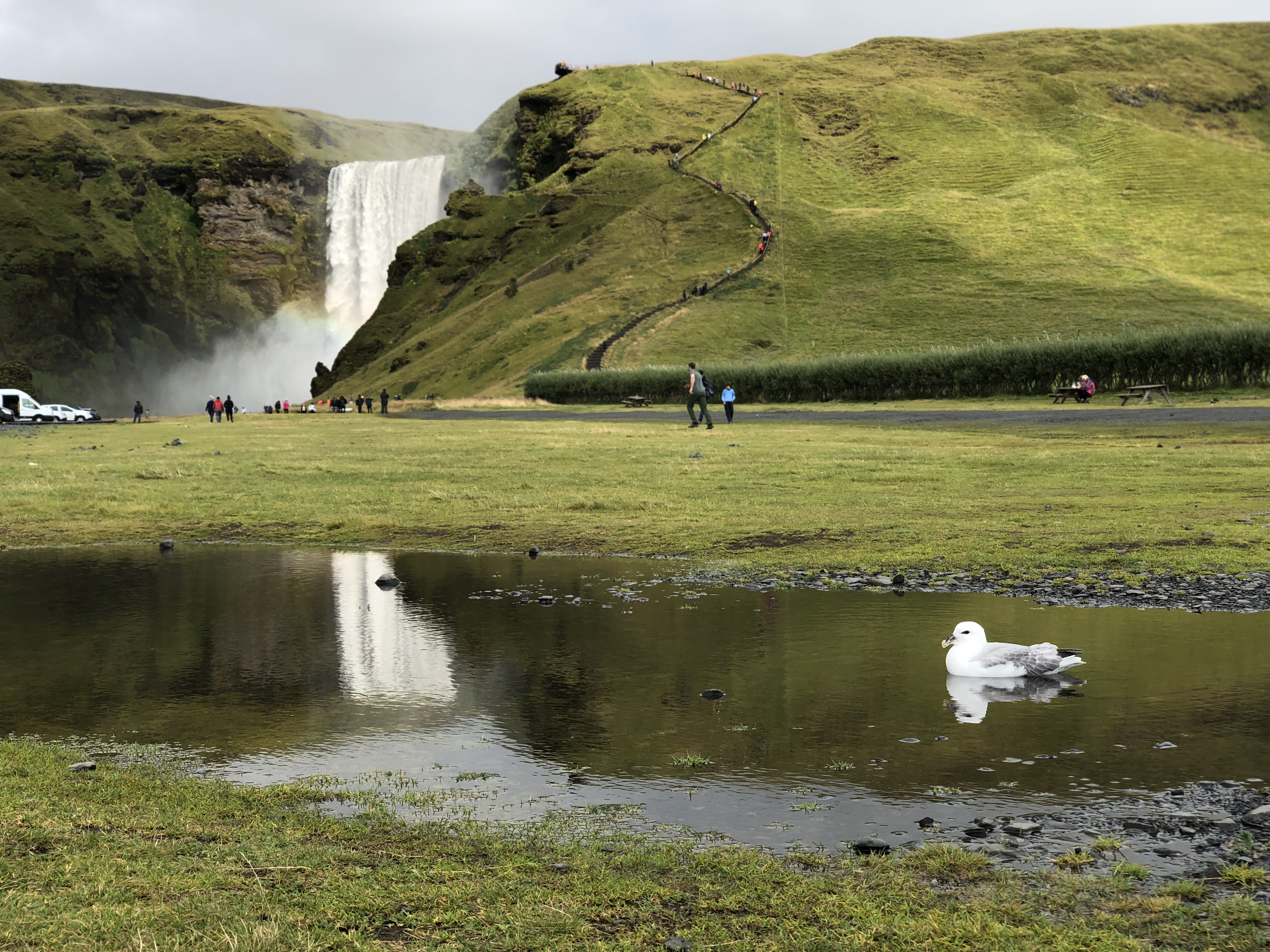
Skógafoss is near public routes and is one of the most popular destinations for tourists traveling the South Coast. The area’s main attraction is the majestic Skógafoss, approx. 60 m high and 25 m wide. The geological layer that waterfalls flow off of is called a waterfall carrier, and Skógafoss’ waterfall carrier is a former coastal cliff. Fulmars reside in and nest all over the cliffs on either side of Skógafoss. The fulmar is one of Iceland’s national responsibility species and is protected; it is also registered as an endangered species on the European Red List.
There has been considerable development of the area’s infrastructure in recent years, e.g. building an observation deck by the waterfall’s edge and steps alongside it. For a while, Skógaheiði was being badly damaged and was placed on a red list during a condition assessment in 2018. A new footpath has now been laid on part of the route through Skógaheiði that helps control visitor traffic around the area and aids the restoration of areas that suffered extensive vegetation damage. With improved access control and traffic restrictions, better control of visitor traffic in the area has been achieved, and today, Skógaheiði is off the red list.
Vegetated areas below Skógafoss have been fenced off to prevent intrusion, in addition to which volunteers have put forth a lot of effort to restore closed paths in the hill by the waterfall, as well as elsewhere. A new footpath runs through the campsite. Development will continue in the coming years, and a new land-use plan for the area assumes that the parking lot will be moved further away from the waterfall. In addition, the campsite will be moved to the forest grove that the river Kverna runs through. It is also presumed that the stairs by the waterfall will be renewed and moved further away from the waterfall.
There are restaurants and a food cart in Skógar, and Skógasafn museum is open year-round. The area also has a hostel and a hotel.
Most people hiking over Fimmvörðuháls start their journey at Skógafoss. In the beginning, you walk up along the Skógaá river, but further on, there are marked hiking trails. The hike over Fimmvörðuháls from Skógar to Þórsmörk is approx. 24 km. It is a good idea to consult the local land ranger or Safetravel regarding conditions and services at Fimmvörðuháls.