Vinna við nýjar heimasíður Umhverfis- og orkustofnunar og Náttúruverndarstofnunar er í gangi. Heimasíða Umhverfisstofnunar er virk á meðan vinnunni stendur. Information in English
Geology
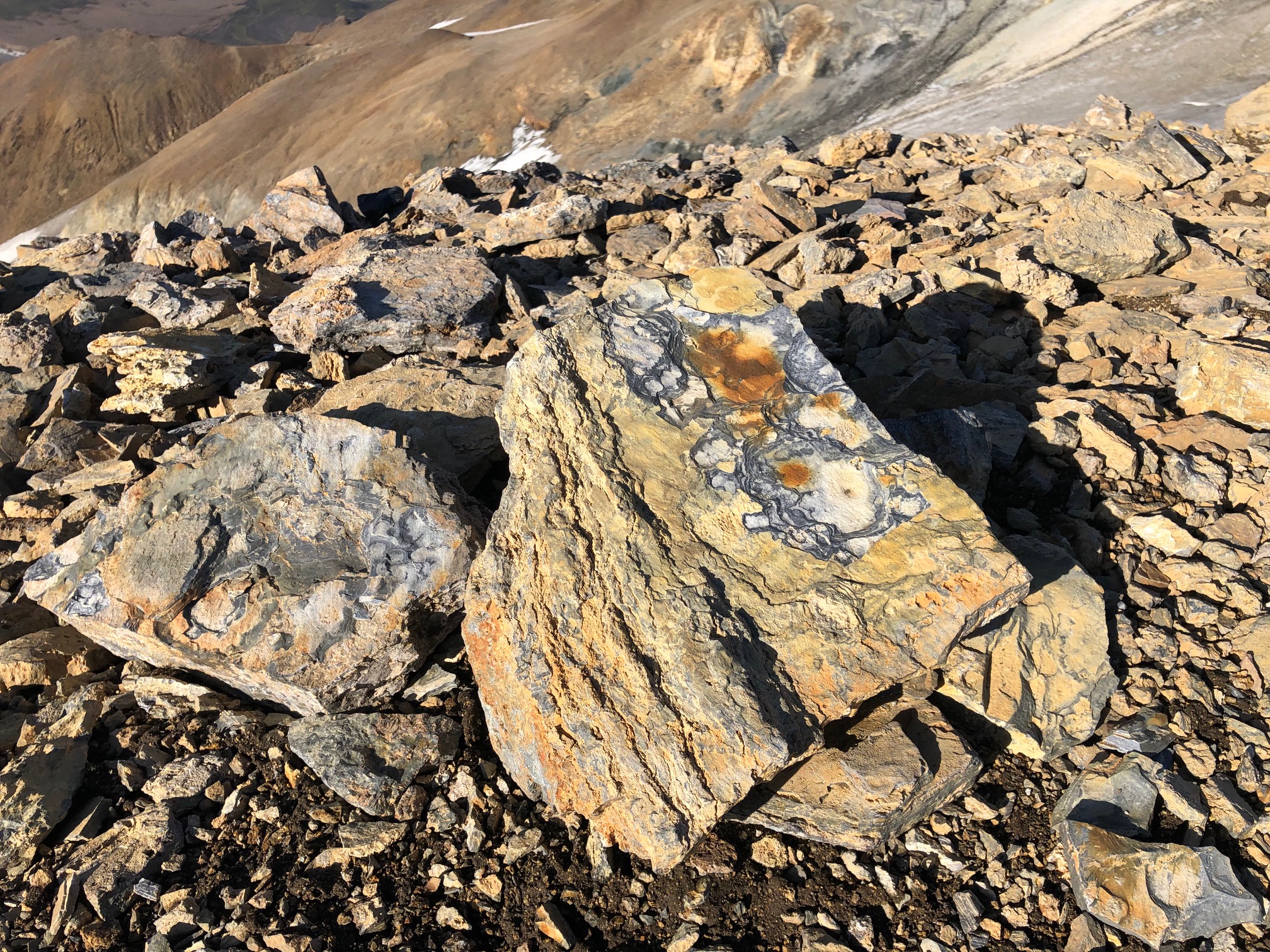
Kerlingarfjöll’s protection value is first and foremost based on the unique and rare geology of the area. Kerlingarfjöll is categorized as an ancient central volcano that covers over 140 square kilometers and contained therein are two caldera fragments as well as numerous acid and intermediate eruption relics. The mountains have been dated and are all presumed to have formed during the last ice age. The oldest rock is found in Draugafell (336,000 years old) and the youngest in Fannborg (79,000 years old), but the age of the calderas is unknown. Great rhyolite mountains characterize the area and give the mountains their unique, light color. Kerlingarfjöll is the second largest rhyolite area in Iceland, after the Torfajökull area.
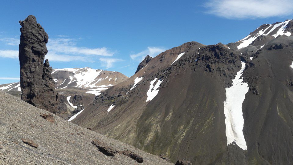
The volcanic activity in the area has mostly been sub-glacial, where the volcanic materials built up into great mountains underneath the thick glacial cover. Silica-rich eruptions, like the ones that formed most of Kerlingarfjöll, are usually very powerful and explosive. However, there are no known volcanic ash layers that can be traced to Kerlingarfjöll, indicating that the volcanic activity never managed to breach the glacier’s surface. Mountains such as Fannborg, Snækollur, Loðmundur, Hverahnúkur, Snjót, Halla and Eyvindur were all formed in eruptions where silica-rich magma erupted from the volcano underneath thick ice. The magma melted huge gaps in the ice, so the volcanic materials built up into steep mountains. However, the volcanic activity managed to breach the glacial surface at least twice, forming the rhyolite mesas Loðmundur and Höttur, which are both considered rare geological formations worldwide. In total, the volume of the rhyolite formations is approx. 3 km3. Some of the volcanic activity in Kerlingarfjöll occurred in the warm periods of the Ice Age, since there are a few basalt lava fields known that have flowed on ice-free land.
As previously mentioned, there are remains of two calderas in the area. The eastern caldera is bigger and more visible than the western one and covers the main rhyolite area in the mountains, i.e. Fannborg, Snækollur and Loðmundur. The caldera is bordered by an easily recognizable platform, nearly 200 meters high, clearly visible on the north and west sides of Neðri-Hveradalur. That platform is especially visible when looking over Hveradalir from the parking lot above the hot spring area. The western caldera is smaller in size and partly covers the Western Mountains – Höttur and Ögmundur. Mænir and Tindur most likely formed in the sub-glacial eruption by the caldera rim.
The two calderas once formed depressions in the landscape, which during the glacial periods were full of ice or meltwater. Later, they were filled with silica-rich eruptions and sediment but were not fully filled, as the caldera rims are still quite visible in the landscape.
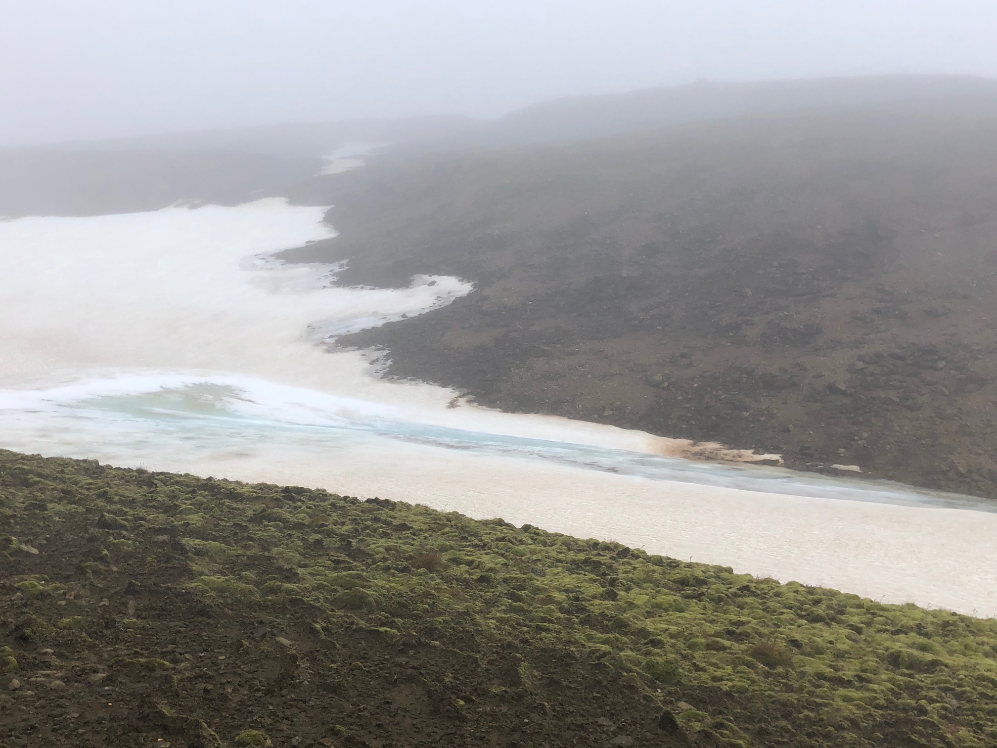
Several glaciers are found in Kerlingarfjöll at an altitude of 1200–1300 meters. The largest of these are Loðmundarjökull Eystri, Jökulkinn, Mænisjökull and Botnajökull. Snowbanks and small glaciers that never melt are common, but the glaciers in the area have receded significantly since the middle of the last century. In previous years, Kerlingarfjöll was the most popular summer ski area in Iceland, but with the warming climate, that has largely ceased, and ski boots have been replaced by hiking boots. Mountain skiing, however, is possible down the biggest snowbanks all summer long, while cross-country skiing is possible in early summer.
In the eastern part of the reserve is the lava field Illahraun, the only modern-day lava field.
Geothermal Power
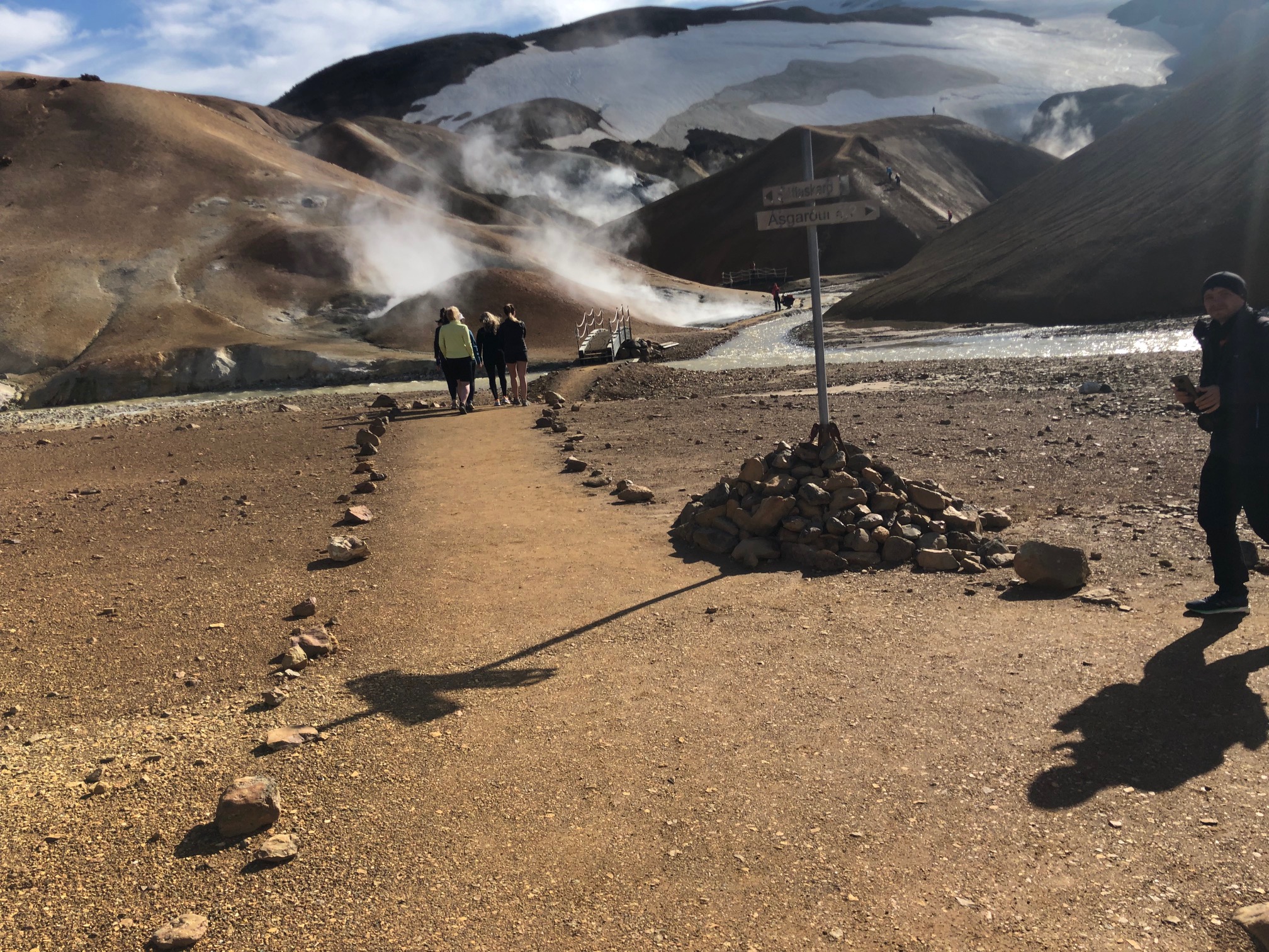
Kerlingarfjöll is defined as a high-temperature geothermal area. It contains one of the most powerful geothermal areas in Iceland, and on the surface, it covers over 7 km2. There are three hot spring areas in the mountains at 900–1100 meters above sea level, which are all within the ancient calderas of the mountains – Neðri-Hveradalir, Efri-Hveradalir and Hverabotnar.
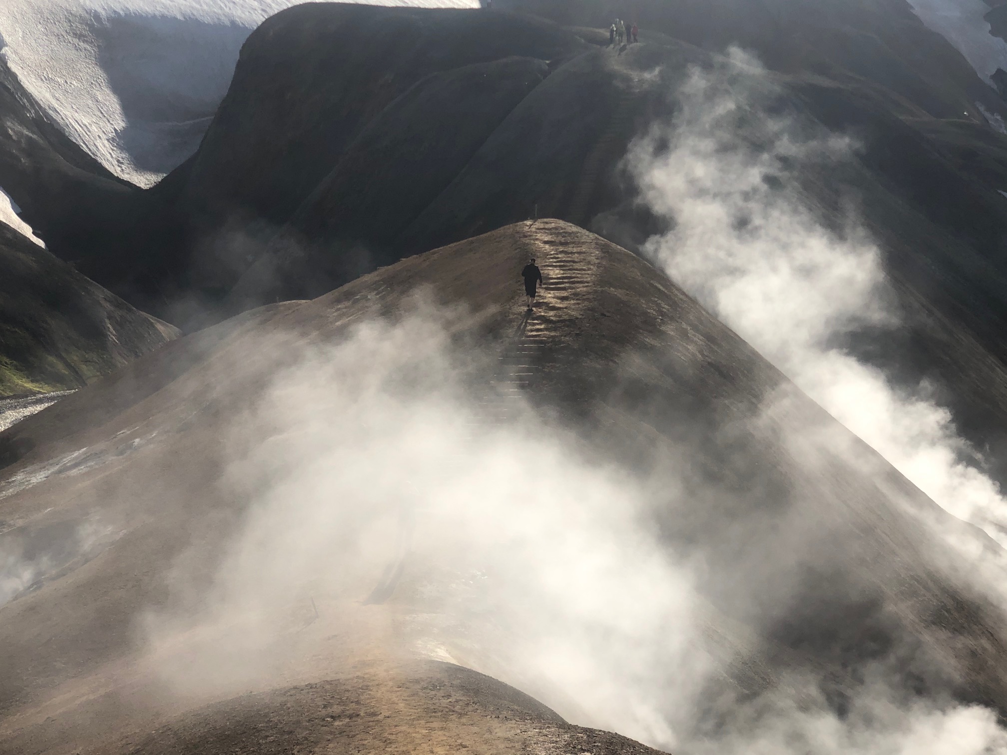
The hot spring areas are very diverse, with hot springs, pools, fumaroles and mudpots being common. The density of the hot springs is considered very high, but on the surface, the geothermal power is mainly represented in cirques and ravines where the soil is boiled, muddy and transformed by the geothermal power. Rapid changes can occur in hot spring areas, where each fumarole can change very quickly – some fumaroles disappear, while others open, and their power can change suddenly as well. The hot spring areas of Neðri-Hveradalir and Efri-Hveradalir connect to Kerlingarfjöll’s eastern caldera, while the activity in Hverabotnar is most likely connected to the smaller western caldera.
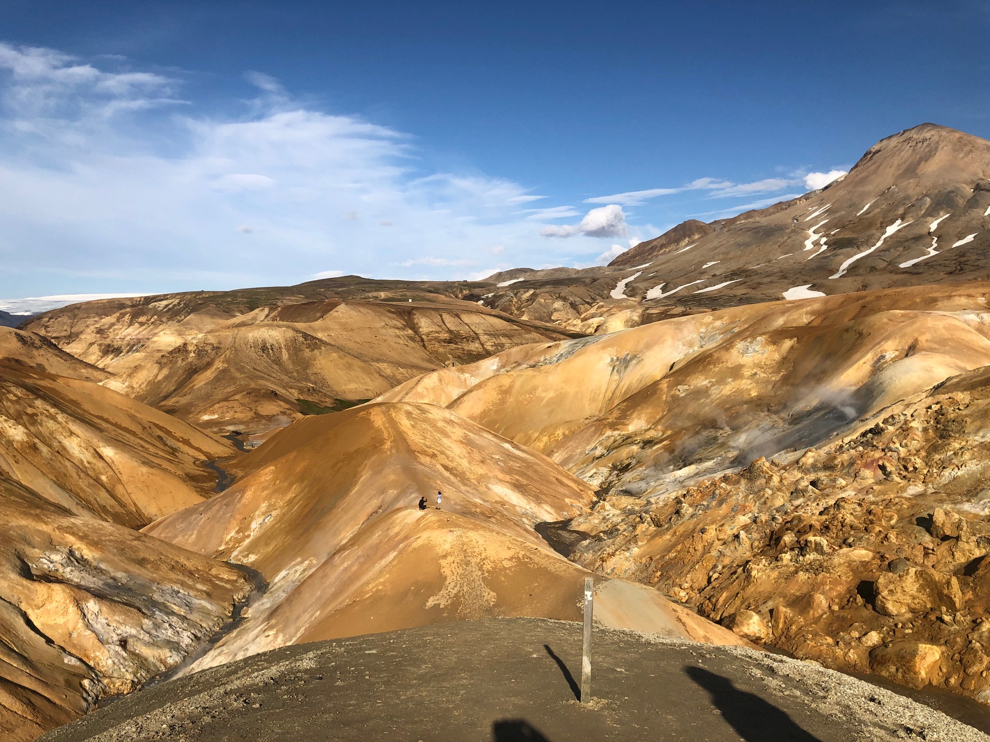
High-temperature geothermal areas like Kerlingarfjöll are rare; there are only around 20 in the whole of Iceland. All areas are tied to the volcanic belts that lie across the country, and the heat comes from shallow magma chambers or hardening magma sills in the bedrock. Energy production has disturbed some of these areas, which raises the protection value of unspoiled geothermal areas, like Kerlingarfjöll.
The hot spring areas mostly contain fumaroles and geysers, with colorful mineral deposits of sulphur (yellow) and various salts (white) that create the diverse colors of the hot spring areas. Various microorganisms feed off the geothermal power, adding unique colors. Encrustations and other hard deposits are rare in Kerlingarfjöll however, which makes the area different from e.g. Hveravellir and Geysir.
.jpg)
The temperature in the Kerlingarfjöll hot springs is particularly high and has been recorded as high as 150°C. It is noticeable how little water flow comes from the geothermal activity, and hot spring outflow is almost exclusively steam. Blue-grey mud springs are common; their color stems from sulphur compounds of iron that are formed when sulphuric acid dissolves the rock.