Vinna við nýjar heimasíður Umhverfis- og orkustofnunar og Náttúruverndarstofnunar er í gangi. Heimasíða Umhverfisstofnunar er virk á meðan vinnunni stendur. Information in English
Geology

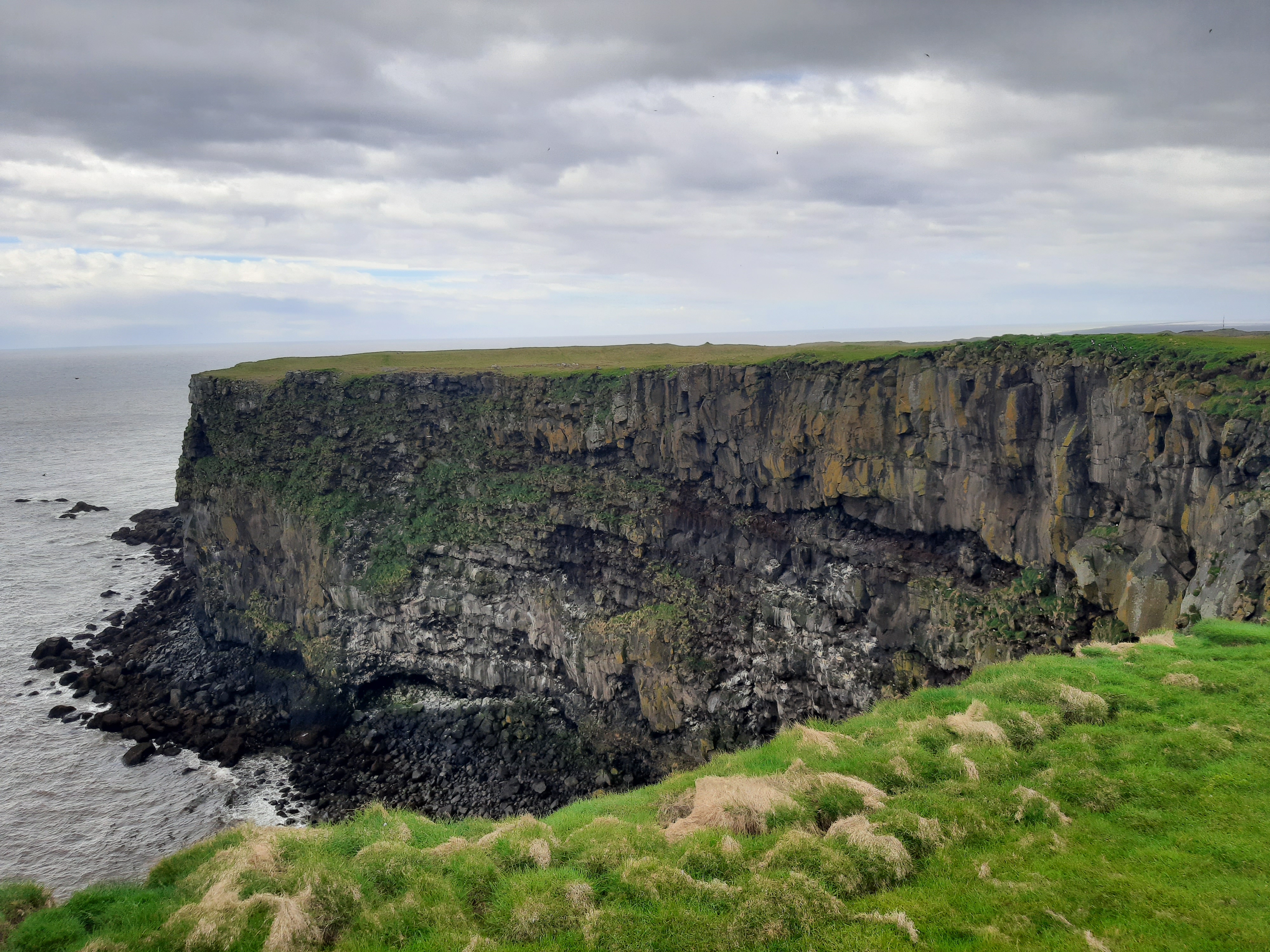
Ingólfshöfði is basalt rock cape, the most common type of rock in Iceland. It sits on a foundation of tuff.
Ingólfshöfði is 1200 m long and 750 m wide and at its tallest point sits 76 m above sea level. It is surrounded by cliffs, except to the west, where there is a great dune, Kóngsalda and, further on the cove, Kóngsvík. The nature reserve covers an area of 120.2 ha.
The place names are derived from a king that acquired the cove and dune after the owner hanged himself.
Ingólfshöfði was once an island, but sand and sediment from glacial rivers have connected it to the mainland.
A depression runs across the cape from Gönguklif from the north to Votaberg in the south. The area east of the depression is called Grashöfði, and the area west of it, Grjóthöfði.